Omega

Now post your ride photos

Moderator: hemingray

User avatar
hemingray
Certified: OBSESSED
Posts: 1898
Joined: Mon Mar 12, 2007 2:24 pm
Location: Auburn, CA

Omega

Postby hemingray » Mon Jun 25, 2012 10:02 pm

Missed the last couple of weekends due to commitments. So, I decided perhaps I could hit Bowman Lake area on a secret mission. But I was drawn off Highway 20 down to Washington because I was nearly there and wanted to see where Canyon Creek (French Lake, Faucherie Lake, Bowman Lake) meets the South Yuba River. It was a slow 3 mile trip at 10 MPH to respect the residents along Maybert Road and the river. Looking upstream from the bridge over Canyon Creek:

Image

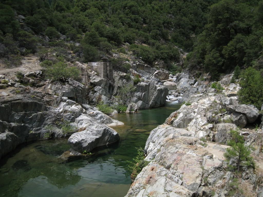
and downstream, there's a weir - apparently Washington or at least some of it - gets it's water supply here.

Image

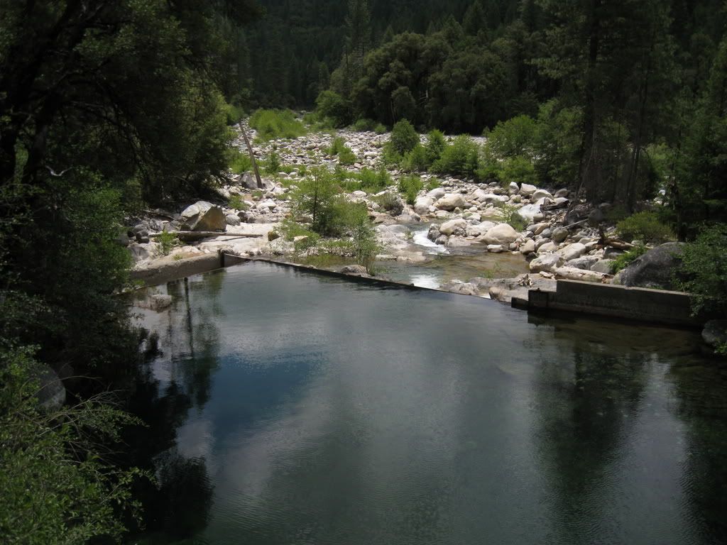
There's a picnic area beyond the confluence but I didn't bother with it. Also beyond is Arctic Mine Road, but I believe it's gated and washed out anyway.

So, back to Highway 20 and realizing I'd pretty much blown my timeframe for Bowman I decided to check out Omega Road, named for the hydraulic mine town of Omega (and it's nearby sibling, Alpha).

Image

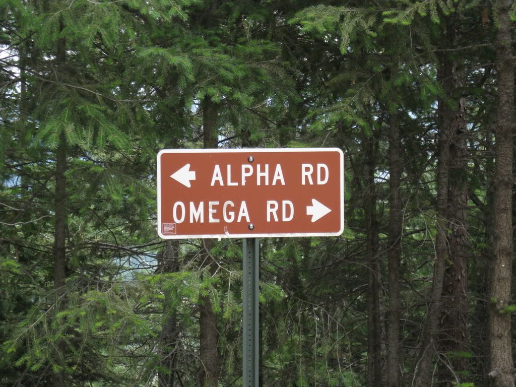
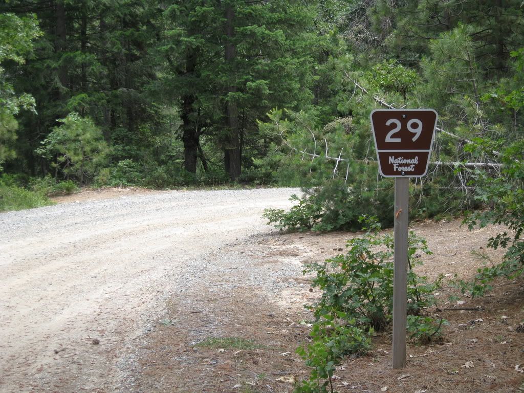
Omega Road is also FR-29.

Image

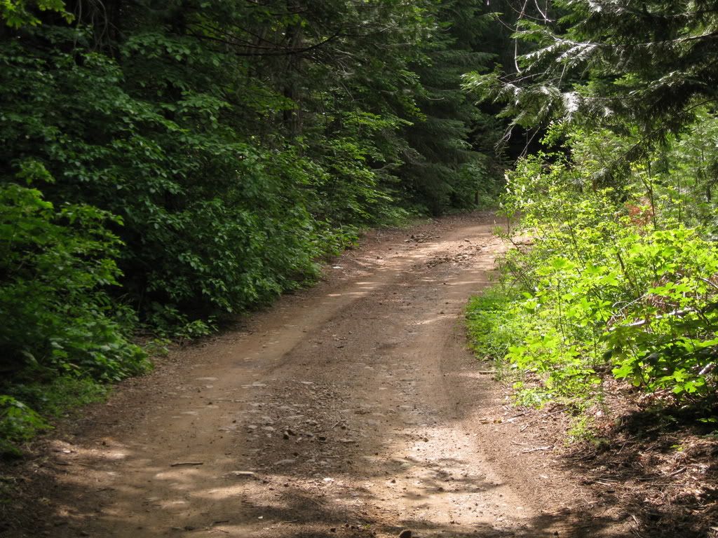
I figured this would be a short and boring ride. But it started out nice!

Image

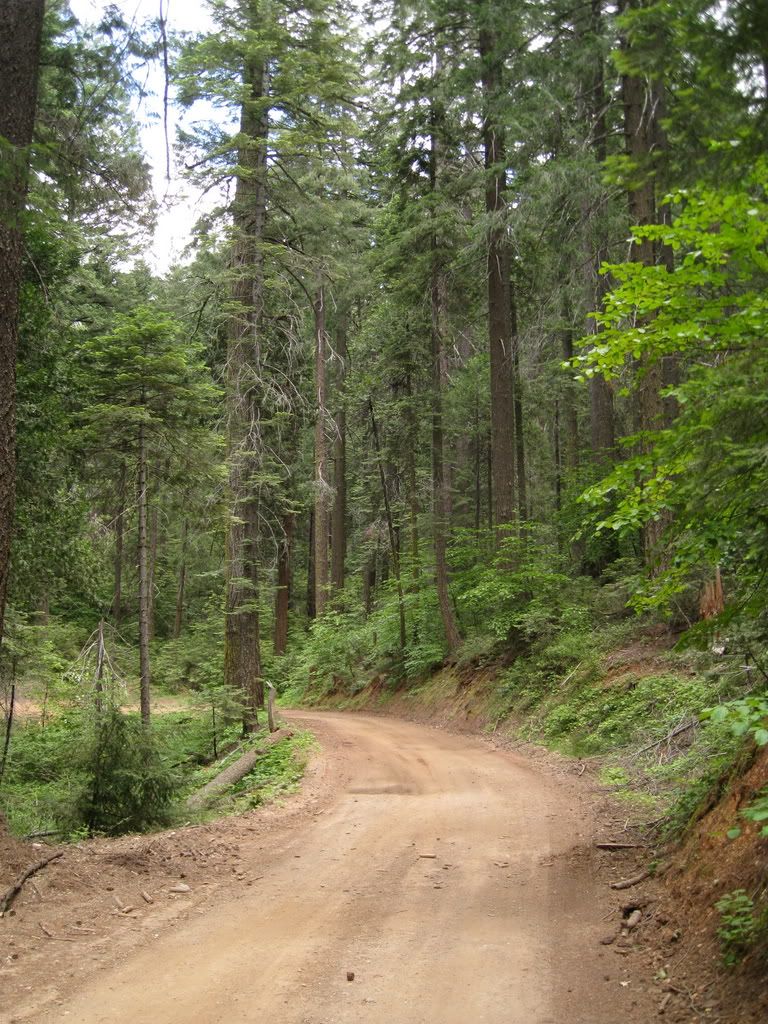
And it stayed good....

Image

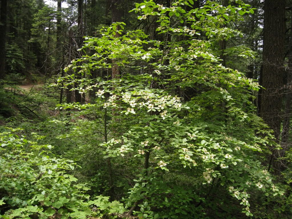
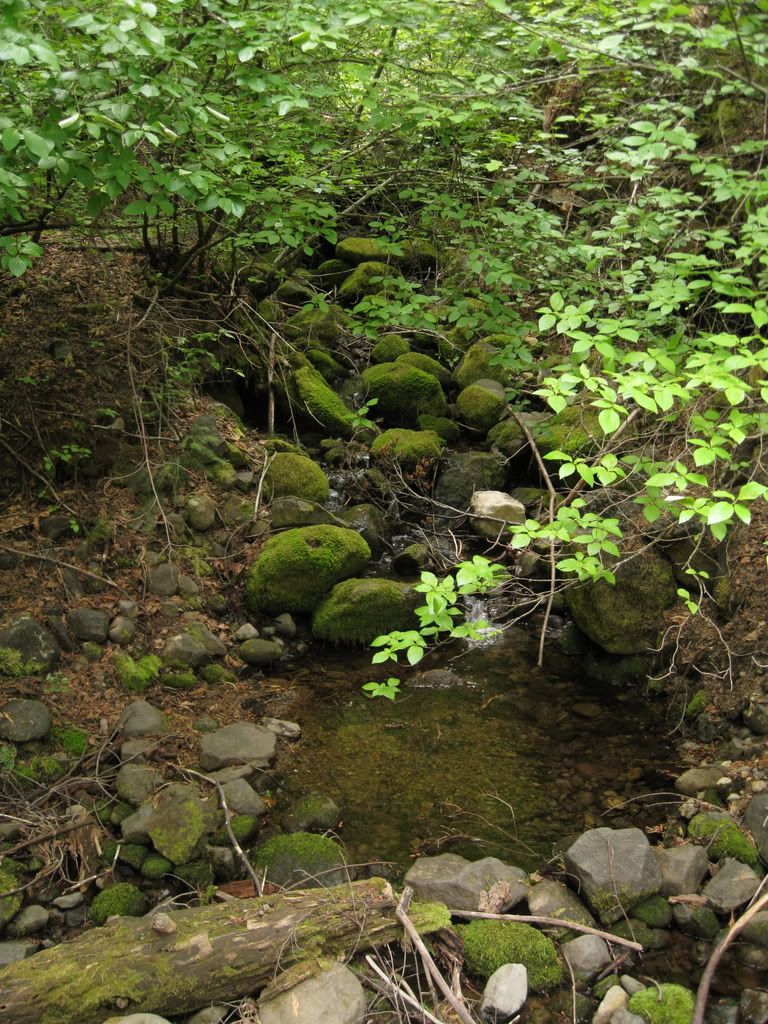
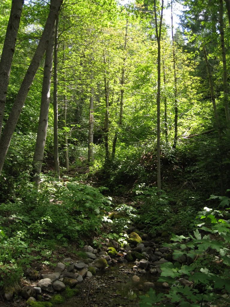
Lots of little glades and glens and small streams.

Image

It skirts the edge of the Yuba River canyon, just below Highway 20, going east.

Image

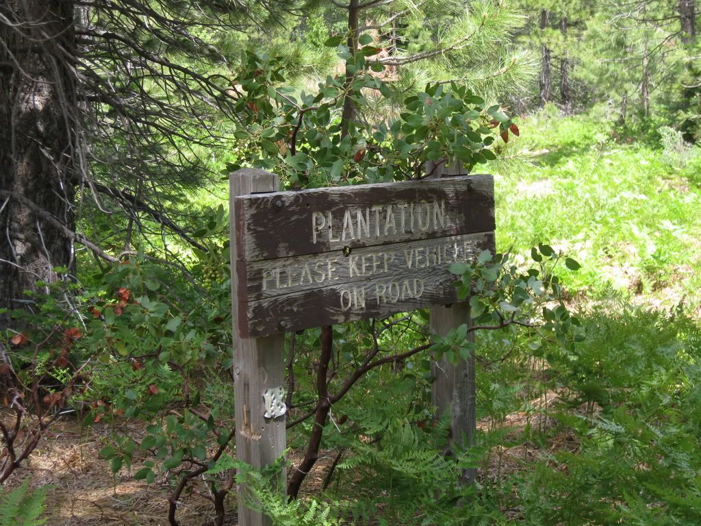
It tops out on Lowell Hill Ridge (Lowell Hill reaches down into the Bear River drainage almost all the way to Dutch Flat) where there is a tree plantation (newly logged no less).

Image

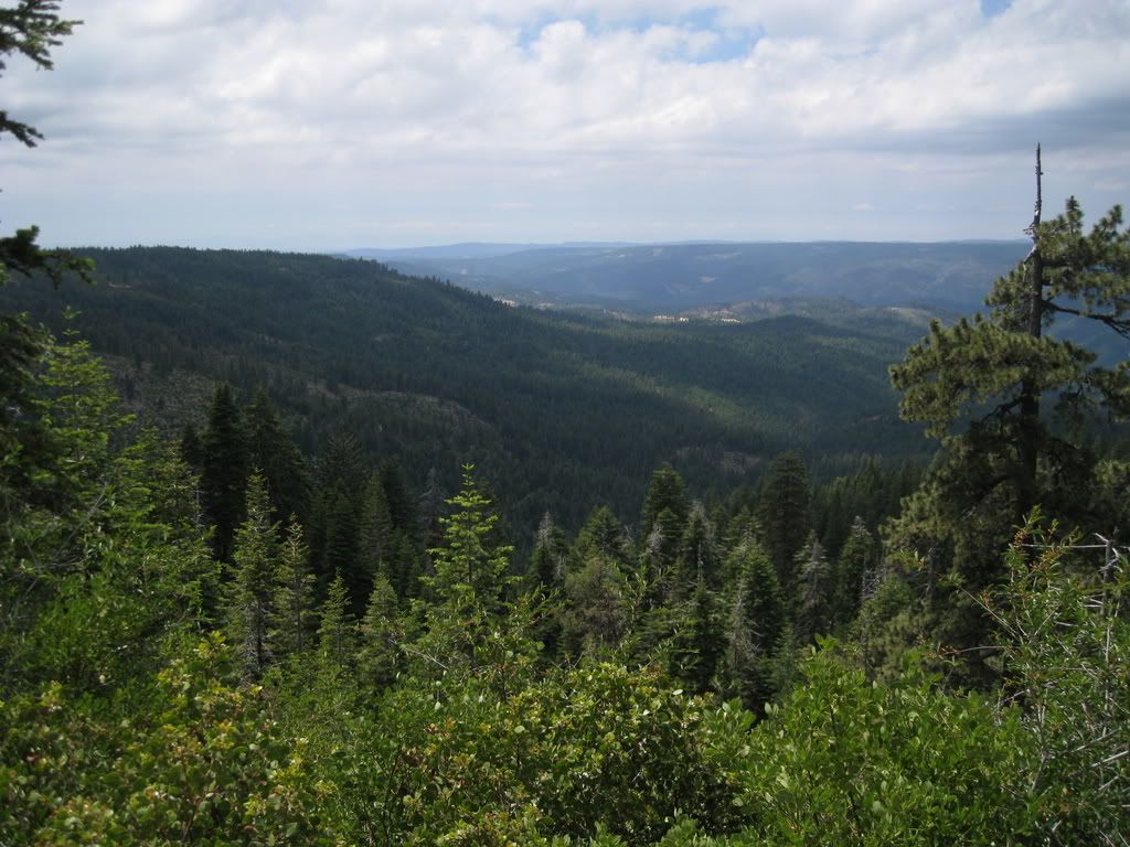
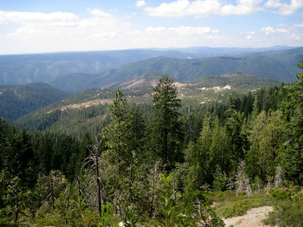
Instead of following around a 180 curve, I took the spur straight ahead - and into a view that knocked my socks off. Signal Peak and Lake Spaulding are at left.

Image

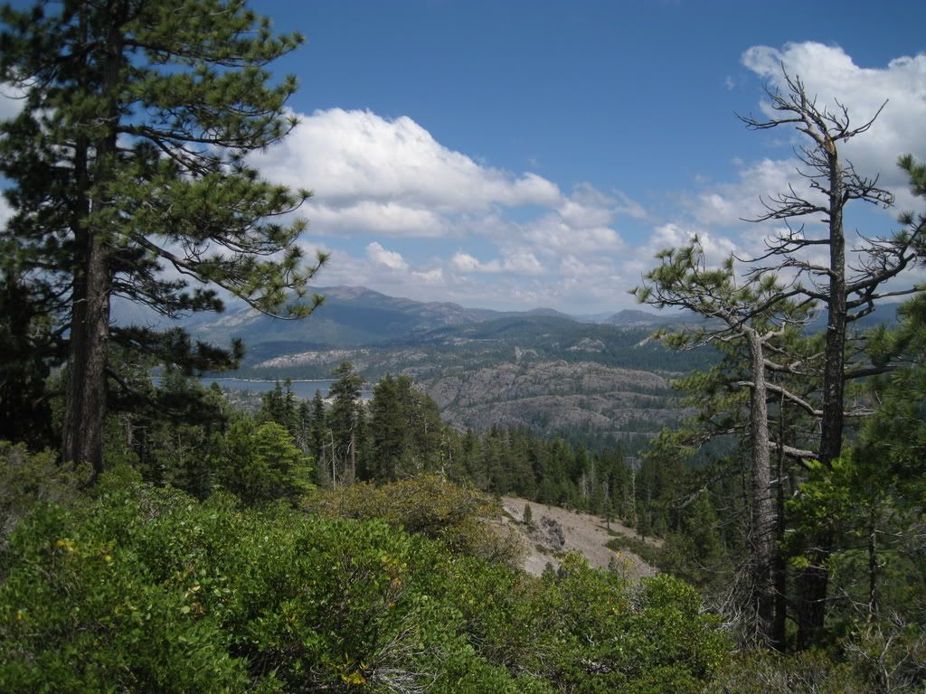
Grouse Ridge, Black Buttes and Old Man Mountain are at left.

Image

Emigrant Gap, I-80 and Bear Valley.

Image

All the views are great here!

Image

Hey, there's a train at Emigrant Gap, and you can see Monumental Ridge and Quartz Mountain at the top (both on FR-19).

Image

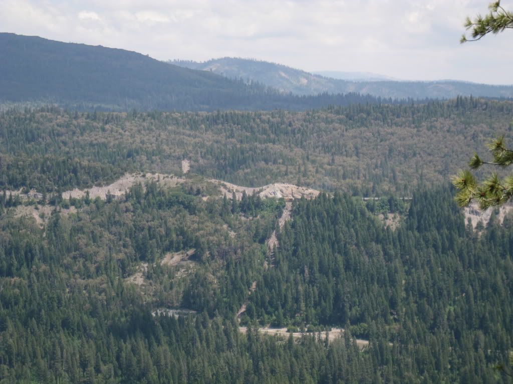
Sidenote for the above picture - right below the tank cars (black cylindersin the picture), there is a upside down triangular area of bare dirt. Most of it is fill from building and improving the railroad, but this spot is where the wagons of the Overland Trail emigrants had to cross over from Carpenter Valley (Laing Road exit on I-80) to the Bear Valley. They locked their wheels with chains and lowered the wagons to the valley below. Most parties rested a day or two in Bear Valley as it was abundant with grass for the animals. Then they undertook the climb out of the valley to Lowell Hill Ridge and thence down the ridge to Steephollow Creek, where they were once again faced with a huge slope to go down. Steephollow Creek heads up right near Highway 20. Later routes avoided that descent unless folks were heading to Dutch Flat - they simply stayed on ridge down to Nevada City. Well, hope you enjoyed that bit of history. This view was a huge find for me!

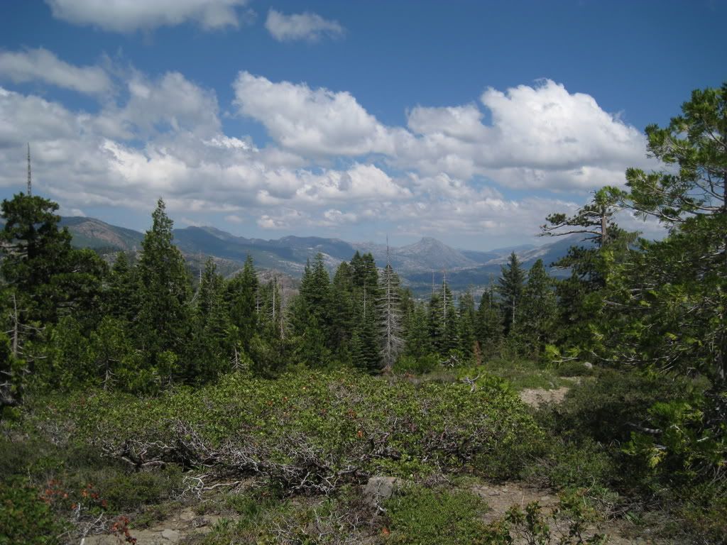
Here's a more expansive view of the Bear Valley. You can see these bluffs of gray ash I am atop from I-80 at the vista point.

Image

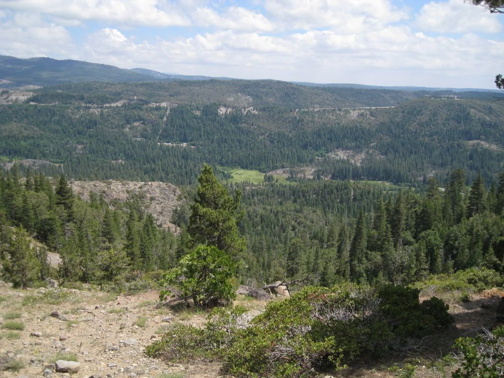
From that spot, a single-track leads down. Yikes - wonder where it goes?

Image

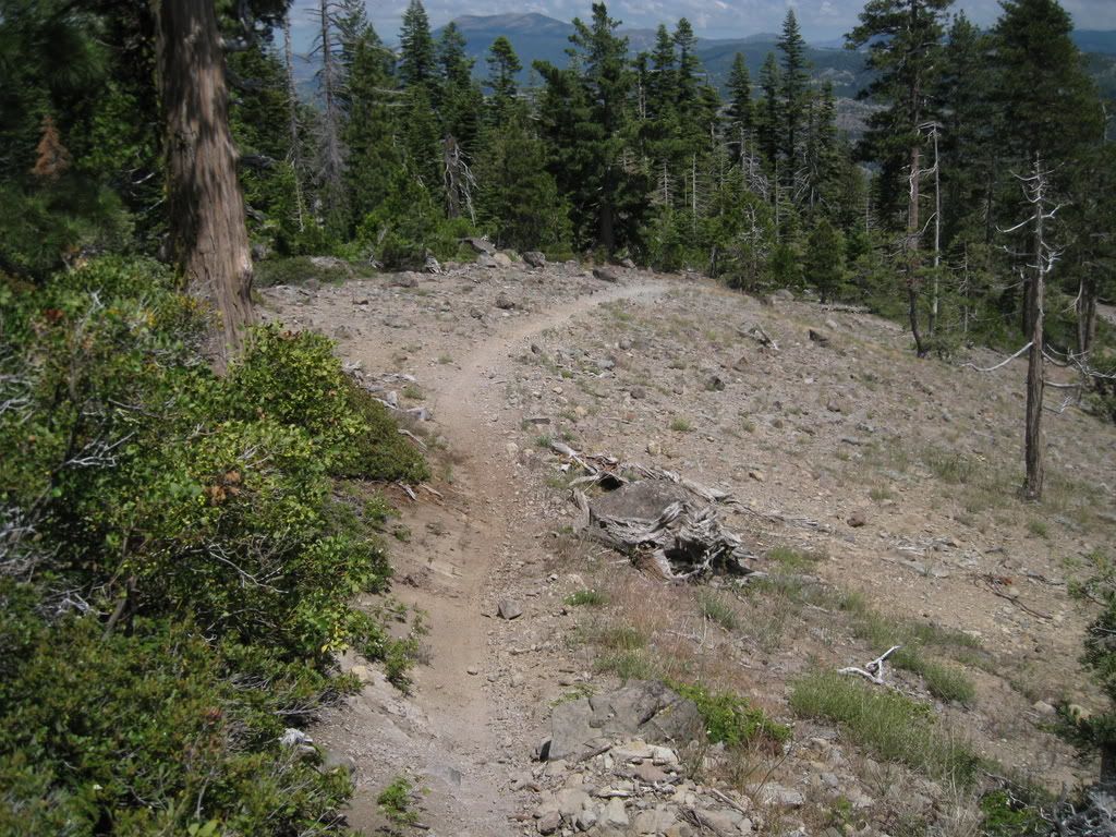
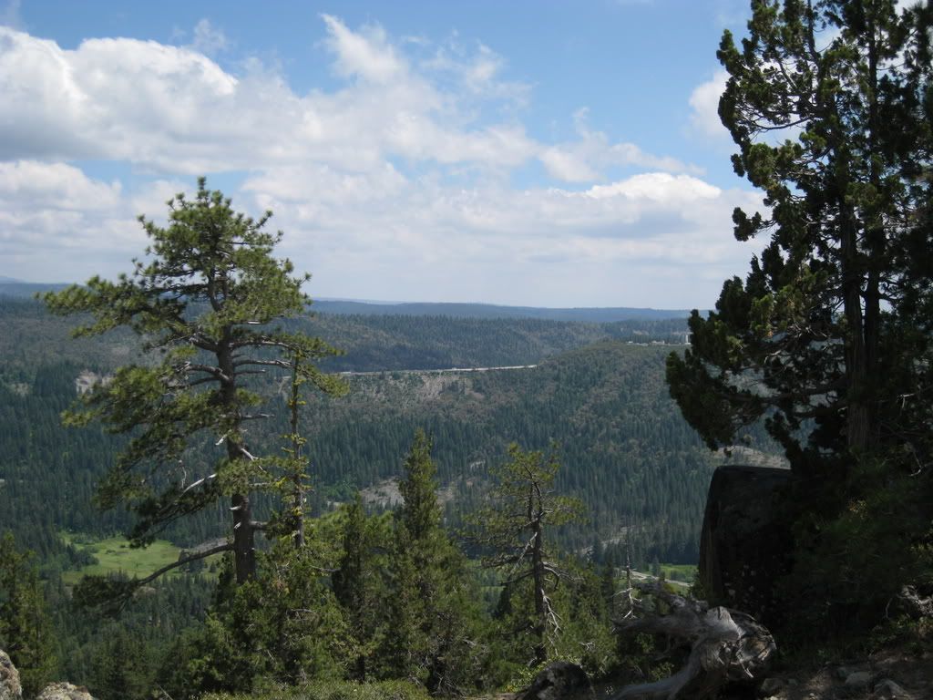
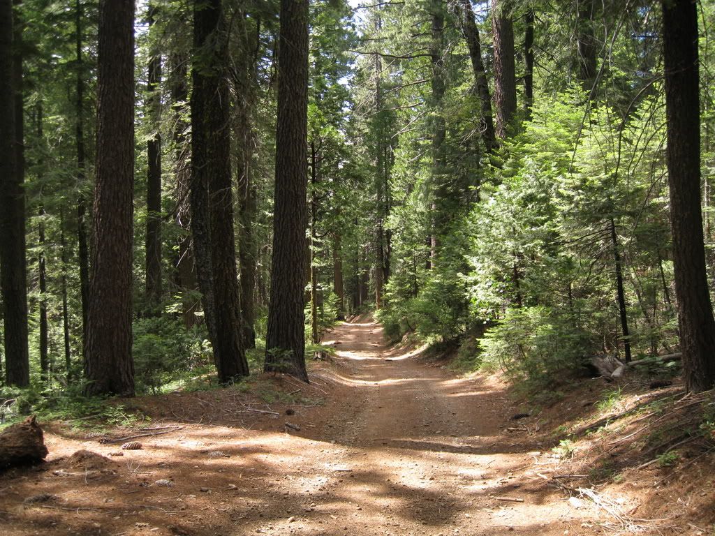
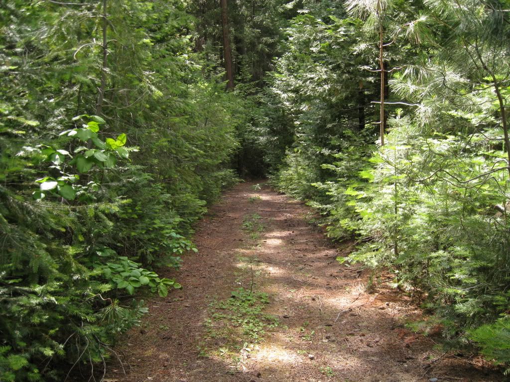
Back to the trip at hand. I had a really pleasant ride - lots of nice running through decent forest with occasional views.

Image

Lots of really green area - probably since its a north-facing slope.

Image

Image

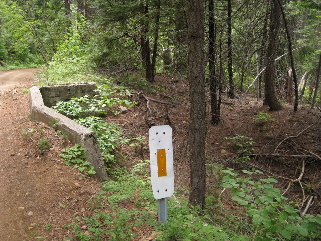
This little bridge crosses a ditch - I've never seen a concrete crossing of a ditch. Perhaps it was a water supply ditch that lasted longer than most.

Image

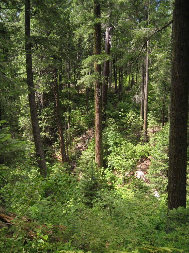
More nice - without much logging slash - forest.

Image

A little stub road that was nice to ride.

Image

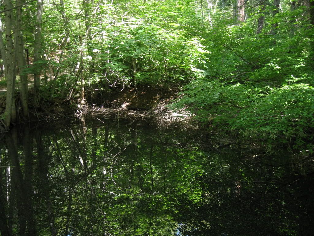
And a nice little pond at the end of another stub. Probably for impounding water - it's perched on a hill.

Image

Back to the truck and not enough time to go down Alpha Road - which has a possibility of ending up in Washington. But here's a view from Highway 20 to Omega Diggings. It was all gated with private gates and no trespassing signs. :-( The dark ridge beyond the diggings is Gaston Ridge, upon which the road from Graniteville down to Washington runs.

Image

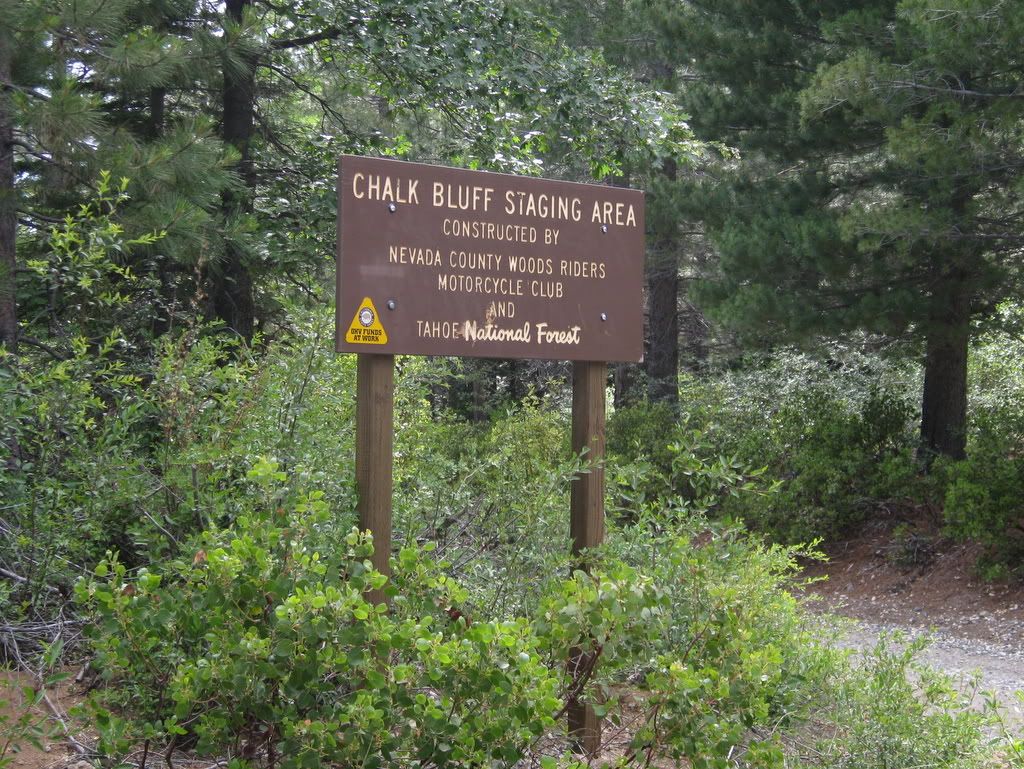
Across the highway at Chalk Bluff Road (which runs all the way down to You Bet near Rollins Reservoir) is a newer staging area for motorcycles. There is an extensive trail system that runs around here.

Image

Inspiration.

Image

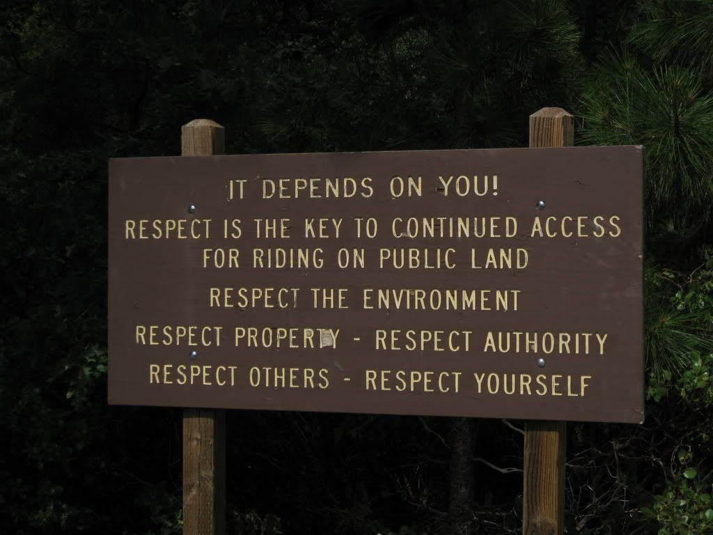
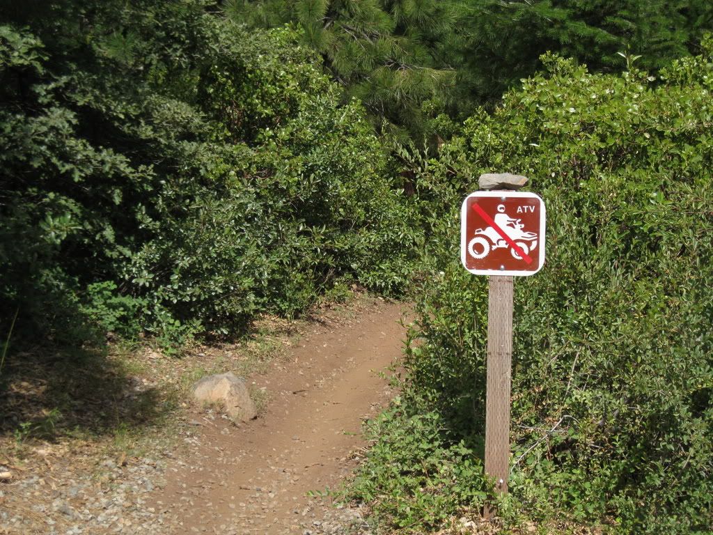
But with limitations.

Image

All in all, a nice ride. I expected to go just a few miles, but instead racked up 32.
Wherever I go, there I am

Paynes Creek 2016!

~~~~~~~~~~~~~~~~~~
16 Yamaha Wolverine R-Spec EPS SE
09 Yamaha Grizzly 700 FI 4x4 EPS

hellcat650
Knows UPS driver on a 1st name basis
Posts: 388
Joined: Thu Oct 25, 2007 2:48 pm
Location: reno nv

Re: Omega

Postby hellcat650 » Mon Jun 25, 2012 10:40 pm

great ride report and pics. Thanks
Dave x^3 (cubed)
07 Artic Cat TRV 650H1
2.5 warn winch
26" Bighorns
3.25 qts oil

User avatar
Ken
Site Admin
Posts: 7501
Joined: Wed Jan 07, 2004 4:23 pm
Location: Auburn, CA
Contact:

Re: Omega

Postby Ken » Tue Jun 26, 2012 10:09 am

Dave...fantastic photos...and a nice history lesson.

Major kudos...most of that stuff...I wouldn't notice.
The last words spoken before a YouTube video is filmed: "Hold my beer, now watch this..."

Regards,
Ken Hower
RTF Director
http://www.rubicontrail.org/

User avatar
Kendo
Is Totally Obsessed
Posts: 939
Joined: Wed Apr 18, 2007 9:26 am
Location: Rocklin, CA

Re: Omega

Postby Kendo » Tue Jun 26, 2012 1:59 pm

Ken wrote:...most of that stuff...I wouldn't notice.
But then again, you don't notice washers stuck to your back for hours on end.....
'15 Can Am Maverick XRS DPS

User avatar
Ken
Site Admin
Posts: 7501
Joined: Wed Jan 07, 2004 4:23 pm
Location: Auburn, CA
Contact:

Re: Omega

Postby Ken » Tue Jun 26, 2012 4:05 pm

Point taken....
The last words spoken before a YouTube video is filmed: "Hold my beer, now watch this..."

Regards,
Ken Hower
RTF Director
http://www.rubicontrail.org/

User avatar
hemingray
Certified: OBSESSED
Posts: 1898
Joined: Mon Mar 12, 2007 2:24 pm
Location: Auburn, CA

Re: Omega

Postby hemingray » Tue Jun 26, 2012 5:51 pm

I'm sure there's an inside joke there...

Thanks for the comment! My passion was originally railroads and I learned about every spot along I-80 where I could access it. Then I moved up here and discovered there was actually more to the mountains than the railroad - and I became an avid student of the Overland Trail and poked around in many places, following the routes in my truck. There are even a few isolated stretches of old US 40 that are still in existence but are cut off from any other access. Amazing to see a WHITE double line (before the double yellow) still in existence. Between Yuba Gap and Cisco there is actually an old US 40 stretch in between the east and westbound lanes of I-80. If you're pretty sharp-eyed, you can see it westbound as you reach the flat section before you climb up to the SR-20 exit. One of these days I'm going to park on the frontage road (that goes down to Shinneyboo) and cross under the freeway through the culvert and take a hike on it...

The ATV opened up even more access - so here I am.
Wherever I go, there I am

Paynes Creek 2016!

~~~~~~~~~~~~~~~~~~
16 Yamaha Wolverine R-Spec EPS SE
09 Yamaha Grizzly 700 FI 4x4 EPS

User avatar
EigerMike
Certified: OBSESSED
Posts: 1800
Joined: Wed Apr 23, 2008 5:05 pm
Location: Orland ca

Re: Omega

Postby EigerMike » Wed Jun 27, 2012 4:31 pm

great job dave! thanks for shareing that. :D
South Side Keeper

Paynes Creek 2017

User avatar
Sasquatch
Is tracking a shipment right now
Posts: 213
Joined: Wed Jan 26, 2011 7:50 pm
Location: Northern California 95667

Re: Omega

Postby Sasquatch » Fri Jun 29, 2012 8:29 am

Thanks for bringing us along on your ride! Beautiful pic's as usual =D>


Who is online

Users browsing this forum: No registered users and 22 guests